 The Civic Council’s FORTHonFourth group has been focusing on ways to create a better Fourth Avenue since its launch in late 2010. One of our earliest decisions to reach that goal was to start a comprehensive assessment of existing conditions along the thoroughfare.
The information we gather would be put in a database that would allow us to project community needs, such as demand for water, sewage, and other public services. Properly developed, the resource base could help us make recommendations for amenities including trees, better lighting, improved landscaping, traffic-calming measures, and bike-rack or car-share locations. From a practical perspective, this kind of serious examination of the “who, what, and where” of Fourth Avenue would not only help shape recommendations but also legitimize proposals coming from the group.
Our ultimate goal for the database is to make it an easily grasped tool that would present information as “digital storytelling.” Materials developed by FORTHonFourth would be made available on the Civic Council’s website and readily downloadable for community meetings and other presentations.
The first step in developing the resource base has been an on-the-ground survey of Fourth Avenue, from the Gowanus Expressway to Atlantic Avenue. Volunteers have been walking stretches of Fourth and collecting address-specific data for each site — the size, nature (commercial or residential), and facades of locations; proximity of trees and streetlights; and many other details. Collected data are then entered in a single online Google spreadsheet.
(The survey process has had an added benefit: an outreach tool for our group to the community along Fourth. As we gather data, we’ve enjoyed talking with curious local residents, business owners, and passers-by about our efforts.)
Our data-collection effort is still ongoing. Meanwhile, we have been exploring mapping software and related technologies that can be used to visualize our facts and figures. In all likelihood, the finished product will be some combination of interactive charts, maps, and graphics.
Recognizing the visual impact of geographic information system (GIS) software, we are looking at applications that support the display of address-specific information, and may use other applications to illustrate related data about the corridor. After looking at several GIS applications, we have yet to find one that fits the “as-built” descriptive information we would like to present.
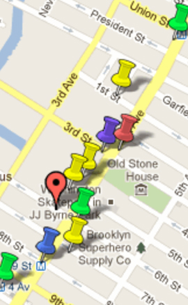
- Google Maps are an obvious way of presenting streetscape images, and will likely be a part of a package that describes the area under study. While the use of Google-based “map mash-ups” is growing, we have so far found limitations in Google Maps in terms of address accuracy and the capacity for an uncluttered integration of data about specific sites.
- Simply Map is a GIS program, available through several universities and institutions (including New York University, Columbia University, and the New York Public Library), that can be used to present demographic, economic, and commercial data in targeted neighborhoods. Unfortunately, its use is limited to institutional members. Also, working with the program at the skill level we seek requires more experience than we have or can gain in its tutorial.
- HabitMap is free software that has been used by a variety of community groups (notably environmental groups), such as Sustainable South Bronx, Newtown Creek Alliance, and West Harlem Environmental Action. Locally, the UPROSE Youth Justice Organizers used it to graphically “inform the community of the environmental burdens in the Sunset Park Neighborhood” and highlight the need for access to the Brooklyn waterfront. A HabitMap could definitely be part of the data package that illustrates the story of Fourth Avenue.
The ultimate public usefulness of the mapping project hinges on how accessible the data will be to inform our discussions about the avenue. FORTHonFourth is currently seeking volunteers to help with these database and mapping projects.
Development of a Fourth Avenue GIS map (for either a small subsection or the whole Atlantic-to-Prospect Expressway stretch) with address-specific information would be a terrific urban-studies or urban-planning class project. Students would have the chance to be part of a project that will actually influence planning. We would enjoy talking with anyone who can build this sort of collaboration or who has had experience with GIS mapping and wants to help.
Of course, we also encourage anyone to volunteer with data collection. This is a great opportunity to get involved with your community’s future. Please contact us at fofa@parkslopeciviccouncil.org.
— SJ Avery
from the November 2011 Civic News